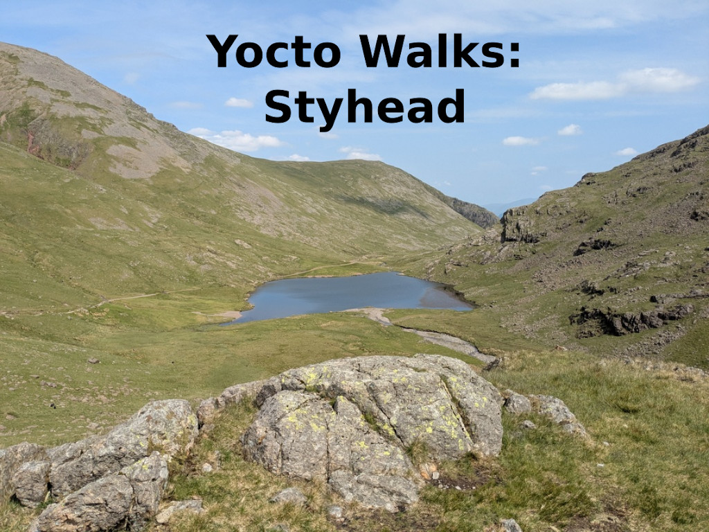
Yocto walks: Styhead
The code names for Yocto Project releases have been based on mountain passes in the English Lake District since version 3.2, which was known as Gatesgarth. This is an area I know well and is a great place for walking, so I thought it would be nice to document some some of these beautiful places
Styhead, Yocto version 5.1, released October 2024
Starting: Seathwaite Farm, grid reference 54.49938° N, 3.18191° W
https://osmand.net/map?pin=54.49938,-3.18191#17/54.49938/-3.18191
Short route:
Distance: 8 Km/5 miles
Height climbed: 350 m/1150 ft
Time: 3 hours
GPX: https://2net.co.uk/downloads/yocto-walks/styhead/styhead-short-route.gpx
Long route:
Distance: 16 Km/10 miles
Height climbed: 800 m/2600 ft
Time: 6 hours
GPX: https://2net.co.uk/downloads/yocto-walks/styhead/styhead-long-route.gpx
Parking:
Seathwaite Farm (charge), or
On the grass verge on the approach to Seaththwaite Farm – please be considerate how you park
Public transport
Number 78 bus from Keswick to Seatoller, then 3 Km walk to Seathwaite
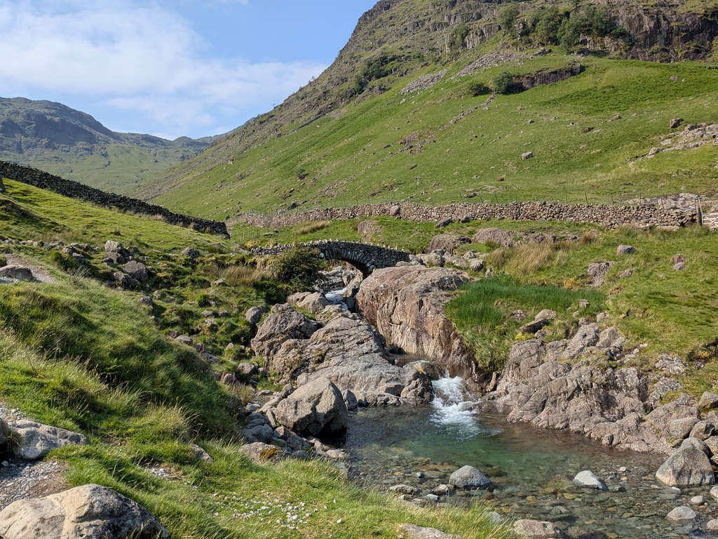
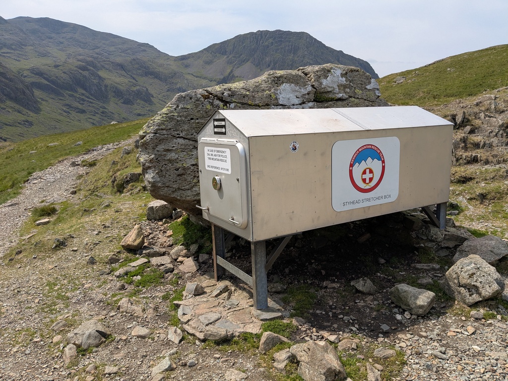
The Styhead pass is an ancient pack-hose route that connects the valleys of Borrowdale and Wasdale. It is a good wide path which follows Styhead Beck (stream) from Seathwaite Farm in Borrowdale up to Styhead Tarn (mountain lake) and then up to the head of the pass. You will know when you have got there because there is a mountain rescue stretcher box, which is also a warning that walking in these mountains can sometimes go wrong – always check the weather forecast and don’t take risks. From the top of the pass the path descends into Wasdale, but for this walk this is the point to decide which way to return to Seathwaite Farm.
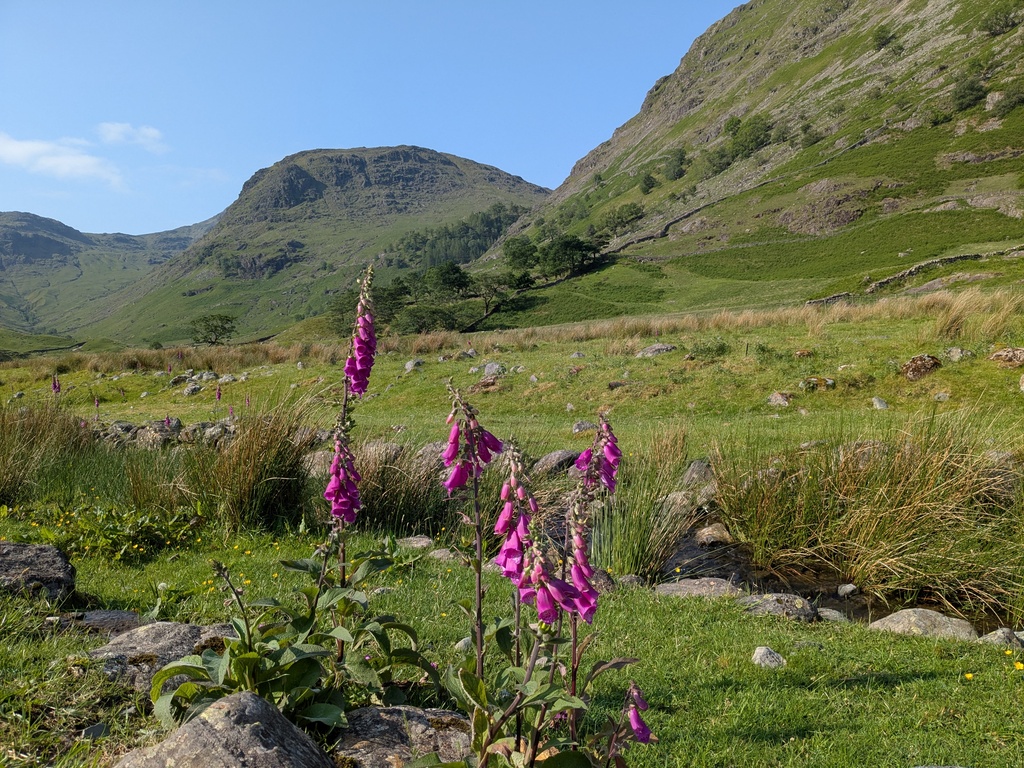
There are two options: the easy way is to return on the other side of Styhead Beck; the more adventurous way is to climb up to Great Gable – one of the best fell tops in the Lakes. This is the route that I took when I did this walk on a beautiful sunny day in early June, as you can see from the photos. The path from Styhead to the top of Great Gable is a steep 450 metre climb over rough ground. When you get to the top, you can see for miles (assuming that you are not in cloud in which case you won’t see much at all). From Great Gable, you go down Windy Gap and up to Green Gable. Then follow the ridge North East towards Base Brown. At at the lowest point on this ridge, follow the path left into Gillercomb. The last section down to Seathwate Farm is via the waterfall that flows over the Seathwaite Slabs rock formation.
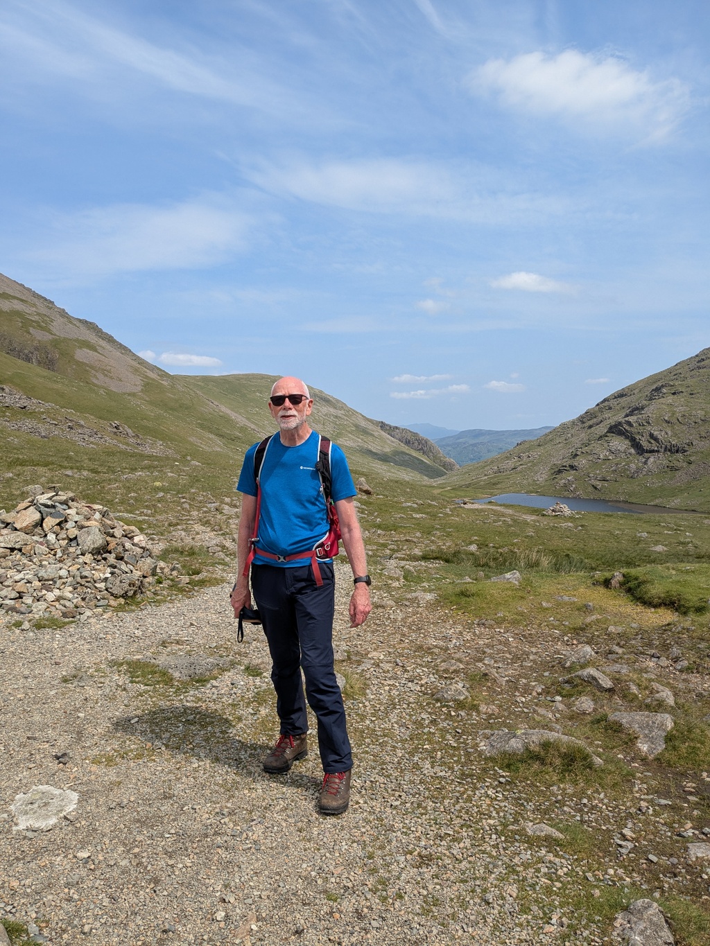
Styhead tarn is just visible on the right (my left)
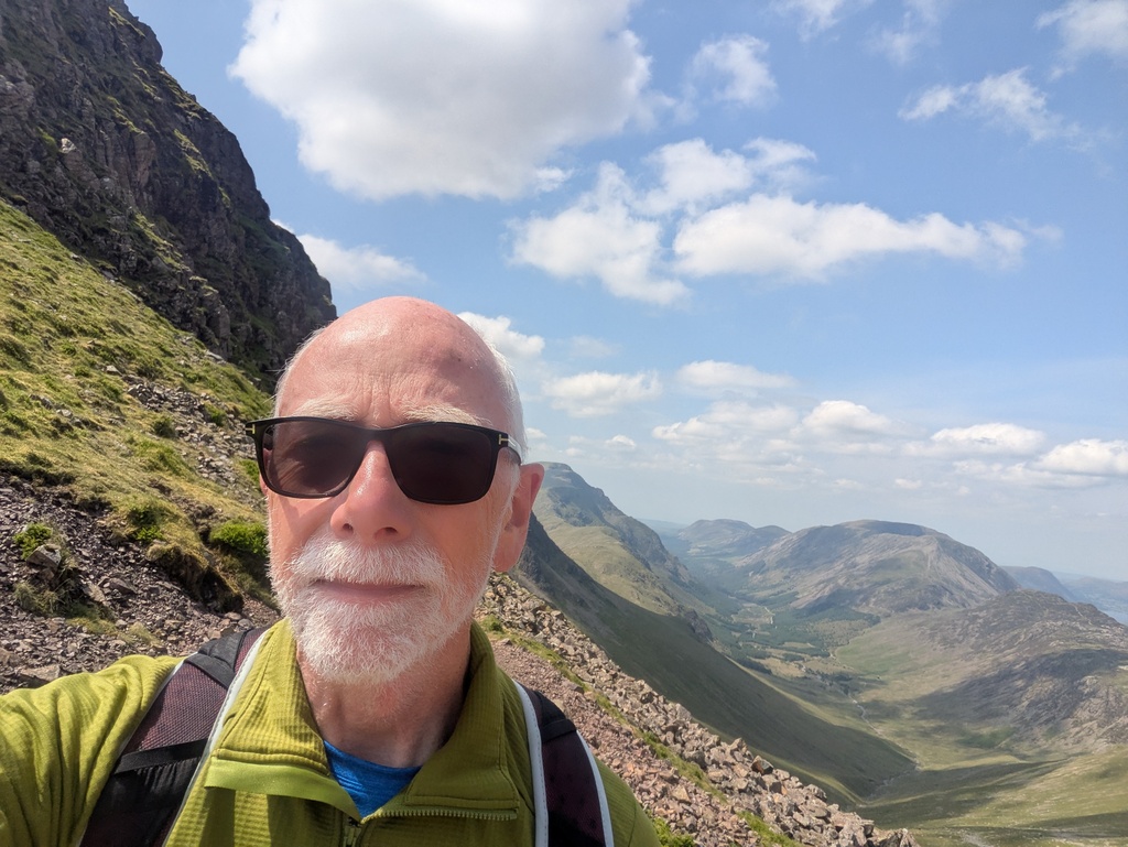
north across the top of Ennerdale. The ridge on the right of the photo includes Hay Stacks and High Stile
 Twitter
 GitHub